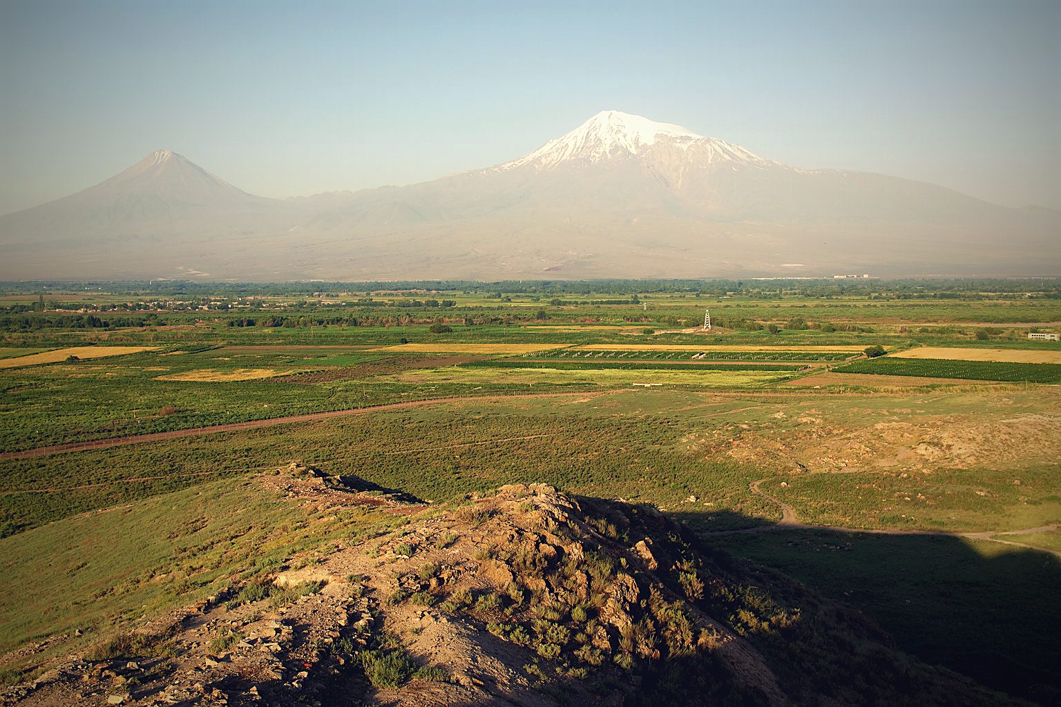
For more than a century, climbers, archaeologists, pilots, intelligence analysts and treasure hunters have gone to the same 5,137-metre volcano on the Turkish-Armenian border looking for the same thing. Some came back with photographs. Some came back with wood. One came back with a story that has never been fully explained.
None of them came back with Noah’s Ark. The mountain is Mount Ararat, and it has been the answer to that question for so long that almost nobody asks how it got the job.
That is the honest answer, and it is worth stating first — because the more interesting question is not “has it been found?” but “why has a search this intense, this well-funded, and this long produced so little?” The answer turns out to involve a mistranslation, a Cold War spy satellite, and a boat-shaped scar in the mud 29 kilometres from the mountain everyone was climbing.
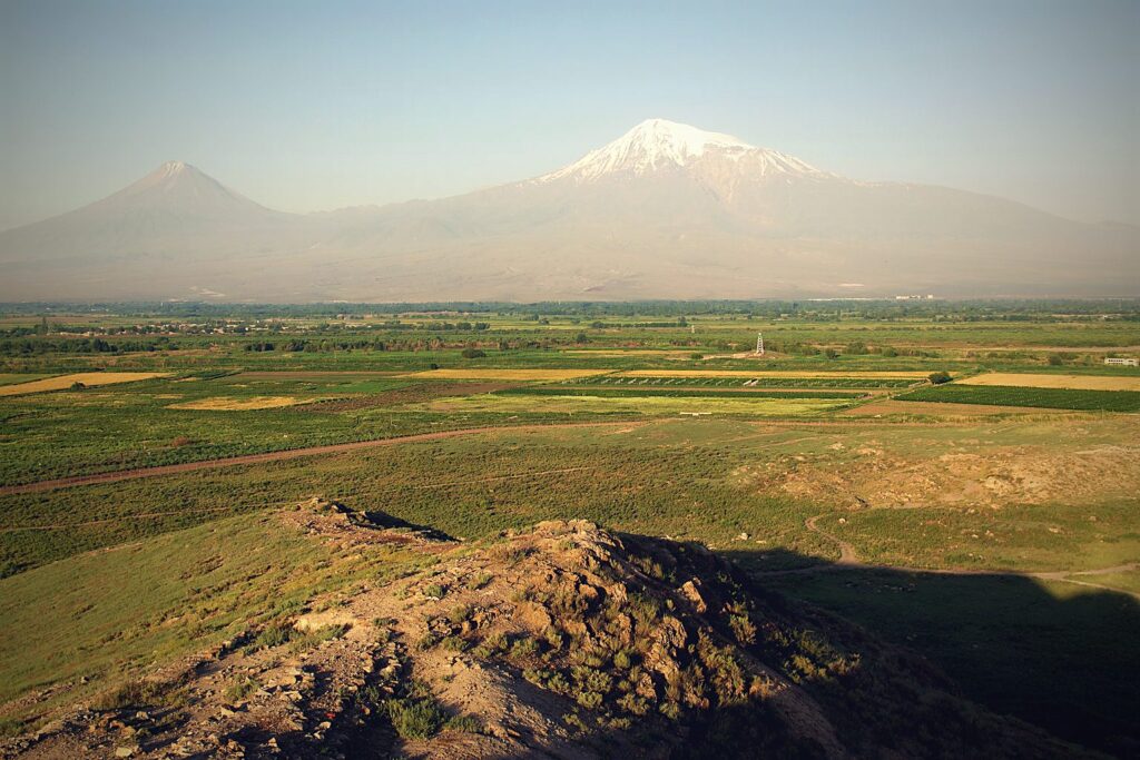
Is Noah’s Ark on Mount Ararat?
No confirmed remains of Noah’s Ark have been found on Mount Ararat. No expedition has recovered independently verified artefacts, and no claim has passed peer review. Two candidate sites dominate the search: the Ararat Anomaly, a shape in the ice near the summit, and the Durupınar formation, a boat-shaped feature roughly 29 km (18 miles) south of the peak. Both remain disputed.
There is also a problem with the premise of the question itself — and it is a translation problem.
What Genesis Actually Says (And Why It Matters)
Almost everyone searching the summit of Mount Ararat has been working from a subtle misreading. Genesis 8:4 states:
“And the ark rested in the seventh month, on the seventeenth day of the month, upon the mountains of Ararat.”
Read that again. Mountains, plural. Not “Mount Ararat.” Not the peak.
In the Hebrew, Ararat is not the name of a mountain at all. It is Urartu — an Iron Age kingdom that occupied a large region of eastern Anatolia, Armenia and north-western Iran. Genesis is not naming a summit. It is naming a country, the way one might say a ship ran aground “in the highlands of Scotland.”
The modern peak called Ağrı Dağı acquired the name “Mount Ararat” centuries later, largely through European mapmaking convention. The mountain was named after the biblical text — not the other way round.
This single fact reframes a hundred years of expeditions. Climbers have been searching one specific volcano because of a name that volcano was given because of the search. The actual biblical landing zone is a region roughly the size of a small country.
The Second Problem: The Mountain Is Volcanic
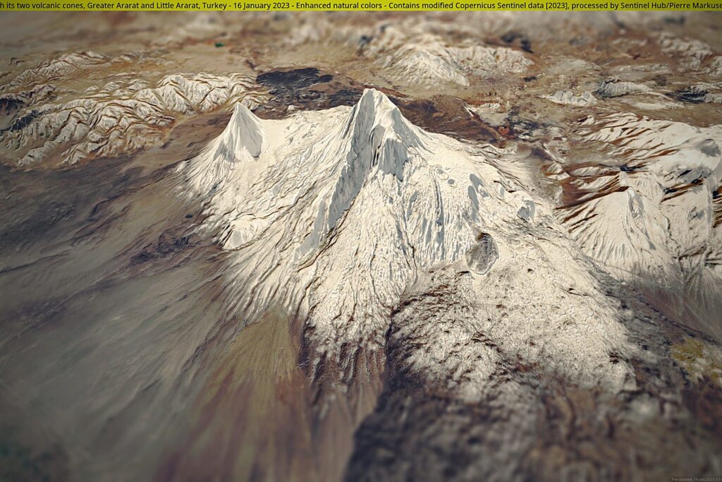
Mount Ararat is a stratovolcano, and an active one on geological timescales — its last significant eruption was in 1840, an event that destroyed the village of Ahora and reshaped the north face. A wooden vessel resting on its slopes would have had to survive millennia of eruptions, pyroclastic flow, glacial movement, and rockfall.
Its summit is also under a permanent ice cap that moves. Glaciers are rivers of ice; they grind, carry and crush. Preservation is not impossible — ice is an excellent preservative — but the mountain is an unusually hostile archive.
The Ararat Anomaly: A Shape in the Ice
The most famous candidate is not an object anyone has touched. It is a shape on a photograph.
In 1949, a US Air Force reconnaissance flight photographed the north-west face of Ararat and captured something on the Western Plateau, at roughly 15,500 feet, about 2.2 km (1.4 miles) west of the summit. The images were classified for decades. When they were released in 1995, following a Freedom of Information request pursued by researcher Porcher Taylor III, they showed a large, angular, ship-like form protruding from the snowfield.
This is the Ararat Anomaly. It has since been imaged repeatedly by aircraft and satellites, including commercial platforms.
What makes it genuinely interesting:
- It is linear and angular in a snowfield where surrounding features are irregular.
- It appears at a consistent location across decades of imagery.
- Its approximate proportions are not wildly inconsistent with a large vessel.
What makes it unconvincing:
- The resolution has never been good enough to distinguish a structure from an ice-covered rock outcrop or a debris ridge.
- The site sits in a militarily sensitive border zone, and ground access has been repeatedly restricted.
- No expedition has reached it and returned with material.
After seventy-five years, the Ararat Anomaly remains exactly what it was in 1949: a suggestive shadow at the edge of what a camera can resolve.
The Ahora Gorge: A Century of Expeditions
The second focus of the summit search is the Ahora Gorge — a colossal chasm on the mountain’s northern face, almost a mile deep, torn open by volcanic collapse.
The gorge became central to Ark searching because of a single testimony. George Hagopian, an Armenian, claimed that as a boy around 1908 his uncle took him up the mountain and showed him an enormous ship partially buried in ice and rock. He described walking on its roof. He recounted the story consistently for decades, and gave it under polygraph late in life.
At least a dozen expeditions have searched the Ahora Gorge since. The results have been uniform: nothing verifiable. The gorge is lethally unstable, prone to rockfall and avalanche, and several searchers have died on the mountain.
Other claims from the same tradition — Fernand Navarra’s hand-hewn wood recovered in 1955 and 1969, various 1980s expeditions, the 2010 Noah’s Ark Ministries International announcement of a wooden structure at 4,000 m (13,123 ft) — have each run into the same wall. Navarra’s timber returned radiocarbon dates far too young for a Flood-era vessel. The 2010 claim was disputed almost immediately, including by members of the team’s own circle.
The Durupınar Formation: The Boat in the Mud
The most-photographed candidate is not on Mount Ararat at all.
In 1948, earthquakes and heavy rain reportedly exposed a formation in the hills near Doğubayazıt. A Turkish army captain, İlhan Durupınar, spotted it on an aerial survey photograph in 1959. It lies about 29 km (18 miles) south of the Ararat summit, at roughly 2,000 m (6,562 ft) elevation, in the Tendürek volcanic area.
It is unmistakably boat-shaped: a pointed prow, a rounded stern, a raised rim, embedded in what looks like a mudflow.
The Case For
Proponents — most prominently the late Ron Wyatt, and more recently the Noah’s Ark Scans project — point to:
- Dimensions. The formation measures roughly 157 metres (515 ft) long. Genesis 6:15 gives the Ark as 300 cubits. Using the Royal Egyptian cubit of about 52.3 cm (21 in) — defensible, given that Moses was educated in Egypt (Acts 7:22) — 300 cubits is 156.9 m (515 ft). The correspondence is striking.
- Subsurface scans. Ground-penetrating radar and electrical resistivity surveys are reported to show regular, symmetrical internal voids, including what researchers describe as a central corridor and parallel linear features.
- Soil chemistry. Samples from inside the formation have been reported to contain elevated organic carbon and metallic content relative to the surrounding terrain.
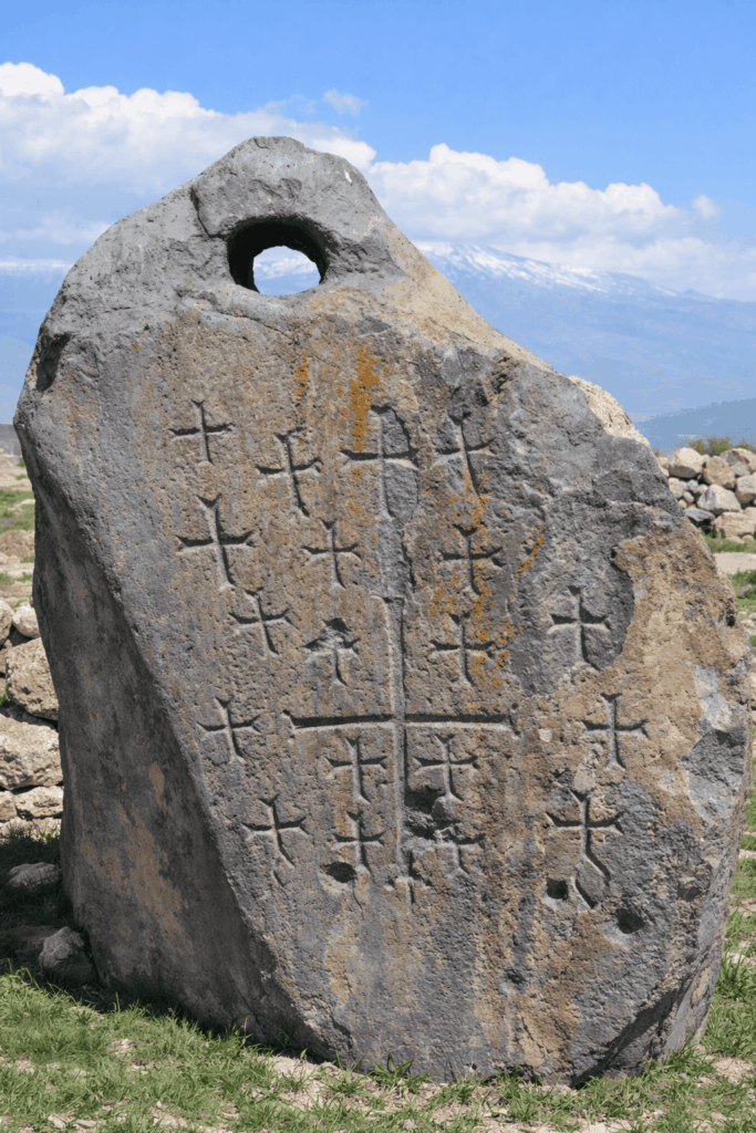
- Drogue stones. Large standing stones with holes bored near the top were found in nearby villages. Drogue stones are a real maritime technology — heavy weights trailed behind a vessel to hold its bow into the waves and reduce capsize risk.
The Case Against
This is where most articles stop. They should not, because the counter-argument is substantial and comes partly from creationist geologists, not only sceptics:
- The formation is a known geological structure. Published geological work identifies it as a doubly plunging syncline — a fold in the rock where a resistant basement block has been pushed up through softer sediment, which then eroded away around it. This process reliably produces elongated, pointed, boat-like outlines. It is not rare.
- The scans are not peer-reviewed. The GPR and resistivity results circulated since 2019, and the 2024 soil chemistry, have been reported by the project conducting them and relayed through media. As of 2026 they have not been published in a peer-reviewed journal or independently replicated.
- No ship material has ever been recovered. No timber, no fastenings, no cargo, no organic layer that survives independent testing. For a vessel of this size, that absence is difficult.
- The drogue stones are contested. Similar holed standing stones across the region are generally interpreted as Armenian khachkars — Christian memorial stones, some later carved with crosses. The bored hole has a mundane explanation.
- Answers in Genesis, a young-earth creationist organisation, publicly rejects the Durupınar identification — which tells you the dispute is not simply believers versus sceptics.
As of 2026, no active archaeological or geological research programme treats Durupınar as a candidate ancient ship. Core drilling, robotic void inspection and isotopic dating have been discussed but not completed.
How to Hold Both Facts at Once
The dimensional match is genuinely arresting. It is also exactly the kind of coincidence that should make a careful reader cautious rather than convinced, for one reason: the cubit was chosen after the measurement was known. There are several candidate cubit lengths. If you are free to select which one to apply, a 157-metre object can be made to match a 300-cubit specification without the match meaning anything.
That does not prove the site is natural. It means the strongest piece of evidence is weaker than it first appears, and the case has to rest on the scans — which is precisely why peer review matters so much here.
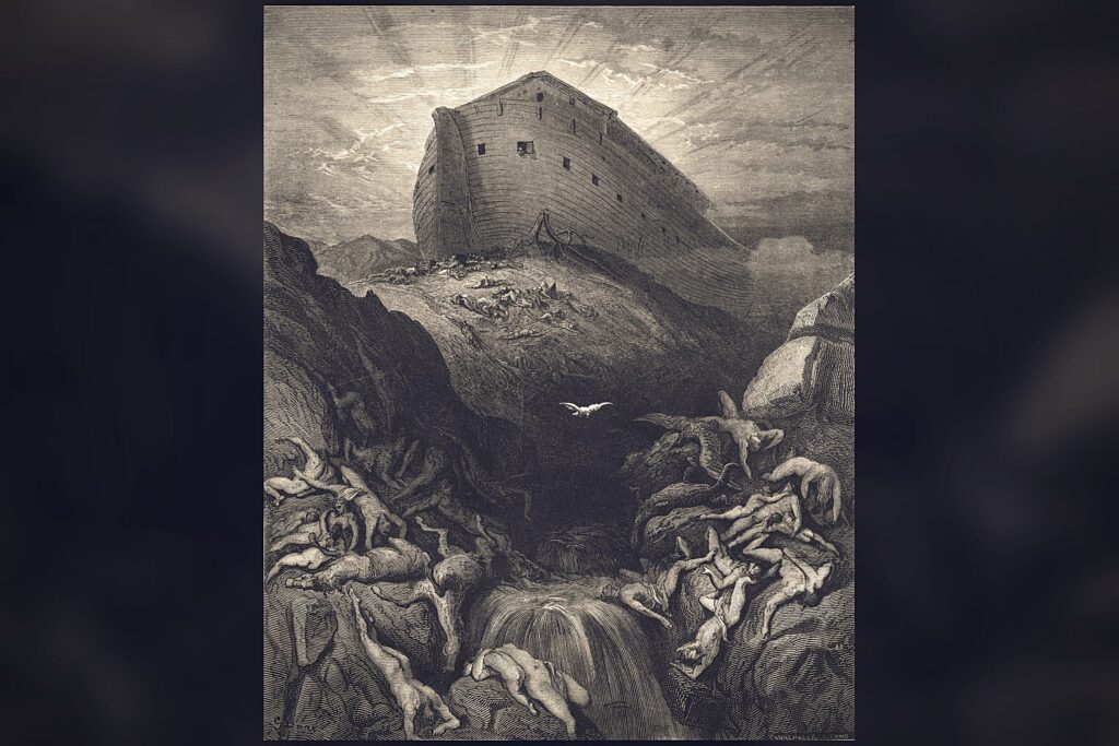
What Would Actually Count as Proof?
This is the question that separates serious inquiry from endless argument. A confirmed find would require:
- Recovered structural material — worked timber, joinery, or fastenings — excavated under documented archaeological control.
- Independent dating from multiple laboratories with no stake in the outcome.
- Material analysis showing construction, not geology: tool marks, deliberate joins, applied sealant.
- Peer-reviewed publication allowing hostile experts to attack the methodology.
- Replication by a team with no theological commitment to the result.
None of the candidate sites has cleared step one. Until something does, every announcement belongs in the category of interesting and unconfirmed.
Why the Search Persists
Because the underlying account is not vague. Genesis 6 gives a length, a breadth, a height, a construction material, a sealing compound and an internal deck plan. Whatever else it is, it is written like a specification.
“The length of the ark shall be three hundred cubits, the breadth of it fifty cubits, and the height of it thirty cubits.” (Genesis 6:15)
And the proportions are not arbitrary. A 30:5:3 ratio is remarkably close to what modern naval architecture would choose for a non-propelled barge optimised for stability rather than speed. In 1994 a team at the Korea Research Institute of Ships and Ocean Engineering tested scale models of these proportions in a wave basin and concluded the hull form was seaworthy in high seas — stable, and resistant to capsize. The Ark’s design is not that of someone imagining a boat. It is the design of something meant to survive rather than travel.
That is the same pattern this site keeps finding in the ancient record — the Ark of the Covenant with its exact gold and acacia specification, the New Jerusalem with published dimensions, manna with defined handling and storage behaviour. Instructions, not poetry.
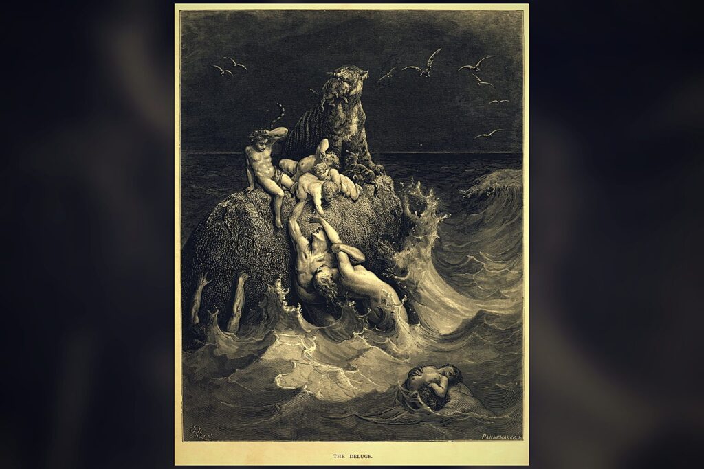
And the Flood narrative itself describes something closer to a biological containment operation than a rescue: breeding pairs, a sealed vessel, a controlled interval, a repopulation protocol. Genesis 6:12 frames the crisis in terms that are not moral alone — “all flesh had corrupted his way upon the earth” — language that sits uncomfortably close to a description of a corrupted genetic line.
Frequently Asked Questions
Has Noah’s Ark been found on Mount Ararat?
No. No expedition has recovered independently verified remains of the Ark, and no claim has been confirmed through peer review. The two main candidate sites — the Ararat Anomaly near the summit and the Durupınar formation to the south — both remain disputed.
What is the Ararat Anomaly?
A large, angular, ship-like shape visible in the snowfield on the Western Plateau of Mount Ararat at about 15,500 feet, roughly 2.2 km (1.4 miles) west of the summit. It was first captured by a US Air Force reconnaissance flight in 1949 and released publicly in 1995. No ground expedition has reached and verified it.
Is the Durupınar formation Noah’s Ark?
It is not accepted as such. Published geological work identifies it as a doubly plunging syncline — a natural rock fold that erodes into a boat-like outline. Its 157-metre length closely matches 300 Royal Egyptian cubits, and recent scans are claimed to show internal voids, but those results have not been peer-reviewed and no ship material has been recovered.
Where did the Ark actually land?
Genesis 8:4 says the Ark rested on “the mountains of Ararat” — plural. In Hebrew, Ararat refers to Urartu, an ancient kingdom covering a large region of eastern Anatolia and Armenia, not a single peak. The text names a region, not a mountain.
Why is Mount Ararat called Ararat if that is not its biblical name?
The Turkish name for the mountain is Ağrı Dağı. The European name “Mount Ararat” was applied later, through mapmaking convention, precisely because the region was identified with the biblical Ararat. The mountain was named after the story.
Has anyone found wood on Mount Ararat?
Fernand Navarra recovered hand-worked timber from a glacier on Ararat in 1955 and 1969. Radiocarbon testing returned dates far too recent for a Flood-era vessel — most results clustering in the first millennium AD — and the wood is generally attributed to later structures or shrines on the mountain.
How big was Noah’s Ark?
Genesis 6:15 gives 300 by 50 by 30 cubits. Using the common cubit of about 45.7 cm (18 in) that is roughly 137 × 23 × 14 m (449 × 75 × 46 ft); using the Royal Egyptian cubit of about 52.3 cm (21 in), roughly 157 × 26 × 16 m (515 × 85 × 52 ft). Either way it was one of the largest wooden vessels described in the ancient world.
Conclusion: The Honest Position
The Durupınar site presents a real choice, but it is not the binary it is usually framed as. It is not “geological miracle versus fossilised Ark.” It is a well-understood rock formation that happens to have a striking outline and a set of unpublished scans that deserve to be tested properly.
The Ararat Anomaly is a shape at the limit of resolution that nobody has been allowed to walk up to.
What is left after the claims are stripped back is a narrative written in the language of engineering — dimensions, materials, ratios, a sealing compound — and a mountain region that has kept its answer for four thousand years. The specification survived. The vessel, so far, has not.
That is not a failure of the search. It is the state of the evidence, and stating it plainly is the only way the next expedition will be worth anything.
Continue Reading
- King Solomon: What the Archaeology Actually Shows — No inscription names him. But radiocarbon put industrial copper smelting in the Arava in his century, and a 2021…
- The Nephilim: What Genesis 6 Actually Describes — Four verses describe something happening, and five verses later the planet is scheduled for erasure. Who the sons of…
- The Sumerian King List: 241,200 Years Before the Flood — Eight kings, 241,200 years, then a flood. Almost every retelling adds the numbers up — and what that shape means is the…